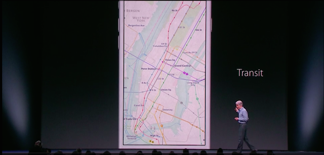
Transit in Apple Maps support multi-routing, walking direction and support for directions for public transportation services like buses, train, subways and ferries. Initially, the service will be available in a handful of few cities across the world, along with 300 more in China.
Apple Maps will be rolling out to a select number of major cities throughout the world, including Baltimore, Chicago, New York, San Francisco, Philadelphia, Mexico City and Washington, DC in the United States; Berling in Germany; London in the United Kingdom; and Toronto in Canada.


