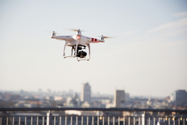
Apple is reportedly working on a strategy to make use of data collecting drones in order to ‘catch up’ with Google. In order to bolster and further improve the quality of Apple Maps, the company is putting together a team of data collection and robotics experts to make use to drones and “new indoor navigation feature.” Bloomberg reports that it is a company’s attempt to catch up with Google, the long-time leader of mapping field.

The use of drones will make it much quicker to capture and update Apple Maps as compared to the GPS data-collecting minivans, which were rolled out in the United States in early 2015.
In additions, company’s acquisition of Indoor.io and WifiSLAM is said to have enabled the company to bring inside view of the buildings. The application is also expected to get an improved to the user experience.
“Apple wants to fly drones around to do things like examine street signs, track changes to roads and monitor if areas are under construction, the person said. The data collected would be sent to Apple teams that rapidly update the Maps app to provide fresh information to users, the person added.”
According to Bloomberg,the Cupertino-based company has already filed for the exemption from the Federal Aviation Administration in order to fly drones commercially. The exemption is said to have been approved to “operate an unmanned aircraft system to conduct data collection, photography, and videography.” However,there are some restrictions in place including Apple’s drone fleet would be operated in daytime, would be restricted to fly over people and buildings, and the drone could only be flown by licensed pilots.
The company is said to have already hired one of the licensed pilot from Amazon’s Prime Air program, and pilots will be joining Apple Maps’ drone program team in Seattle, Washington.Both the drone fleet and indoor mapping initiatives are progressing alongside. Apple hopes to enable its Apple Maps users to navigate through airports “and other high-traffic buildings like museums” using their iPhones with these technologies.
The post Apple to use Data-Collecting Drones to Beat Google Maps appeared first on iPhoneHeat.


